Making Location Matter: Truva’s Hyperlocal Map

Buying a home isn’t just about the house. It’s about everything around it. Where’s the nearest school? How far is the metro? Can I grab groceries without fighting traffic? Will my airport cab cost me a fortune?
At Truva, we talk to hundreds of buyers every week. And more often than not, once they like a house, their next question is—"What’s around it?" That one question set us on a path. Today, we're excited to share how we answered it—with our new Hyperlocal Map feature.
The Customer Insight
Let’s rewind a bit. When you're buying a resale home, you're not just evaluating bricks and paint. You're buying into a neighbourhood—its convenience, chaos, charm. Every buyer we spoke to wanted to understand the connectivity and quality of life around the home.
But they had to rely on patchy Google Maps searches, or even visiting the place themselves.
We realized something important:Buyers don’t just need homes. They need context.
The Product Idea
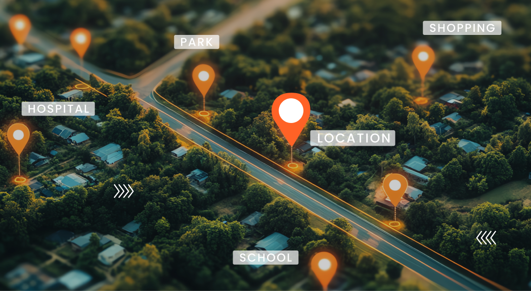
What if every Truva listing didn’t just show the house, but also showed the world around it? Not a messy map full of every café and chemist.But a curated, purposeful view of what actually matters.
So we built Hyperlocal Maps—an interactive map on each listing that shows:
- Nearby essentials, like schools, metro stations, grocery stores.
- Lifestyle points, like parks, restaurants, gyms.
- A “Notables” section that picks the most important landmarks across all categories.
- Distance-based logic that prioritizes relevance.
- And smart visibility rules—so only the right places show up, not every chai tapari in town.
The Solution: How We Designed It
Step 1: Building a Connectivity Graph
We created a database of all major connectivity points—think airports, schools, malls, metros, grocery stores—along with their Google Map IDs and categories.
Each society listing also has its own Google Map ID.Using these two, we calculate the distance between each house and each point. Then we layer a priority system.
High Priority (e.g., Airport) → Always shown, no matter how far.
Medium Priority (e.g., Metro) → Shown within a defined radius.
Low Priority (e.g., ATM) → Only shown if it’s close enough and important.
Step 2: Categorising for Clarity
We grouped all points into user-friendly categories:
- Essentials (schools, hospitals, grocery)
- Travel & Commute (metro, airport, highway)
- Lifestyle (restaurants, gyms, shopping)
Each listing map is clean, focused, and designed to reduce information overload.
Step 3: Curating the “Notables”
We knew not every buyer wants to see every school or café. So we created a separate Notables section—handpicking 1–2 most relevant points per category. It’s the shortlist we’d give a friend if they asked, “What’s actually important around here?” High-priority items like airports? They’re always in Notables, even if they’re miles away.
The Challenges
Let’s just say… Google Maps isn’t always cooperative. We ran into several issues: Some important landmarks didn’t have standard map IDs. Distance wasn’t always meaningful (e.g., 2 km on Google Maps ≠ 2 km by road). We had to build fallbacks for incomplete data. And balance too much information vs not enough. But the toughest part? Choosing what not to show. We debated for hours: should we show all 6 gyms in a 1km radius or just 2? Should a fancy international school beat a closer one? What if a buyer’s priority is different? Eventually, we built rules. But we’re still learning and evolving.
Why This Matters
Because buying a home should feel informed—not overwhelming. Because good design is not more information, but the right information.
And because we believe in building tools that make India’s biggest asset class—real estate—more transparent.
Truva’s Hyperlocal Map is one step closer to that vision. Go ahead. Check out a listing. Explore the neighbourhood. See what surrounds your future home. Because a good house is just the beginning. It’s the world around it that makes it home.


